FOLLOW YOUR CURIOSITY
Find your
somewhere.
Get to know the landscapes that make Kyrgyzstan unforgettable.
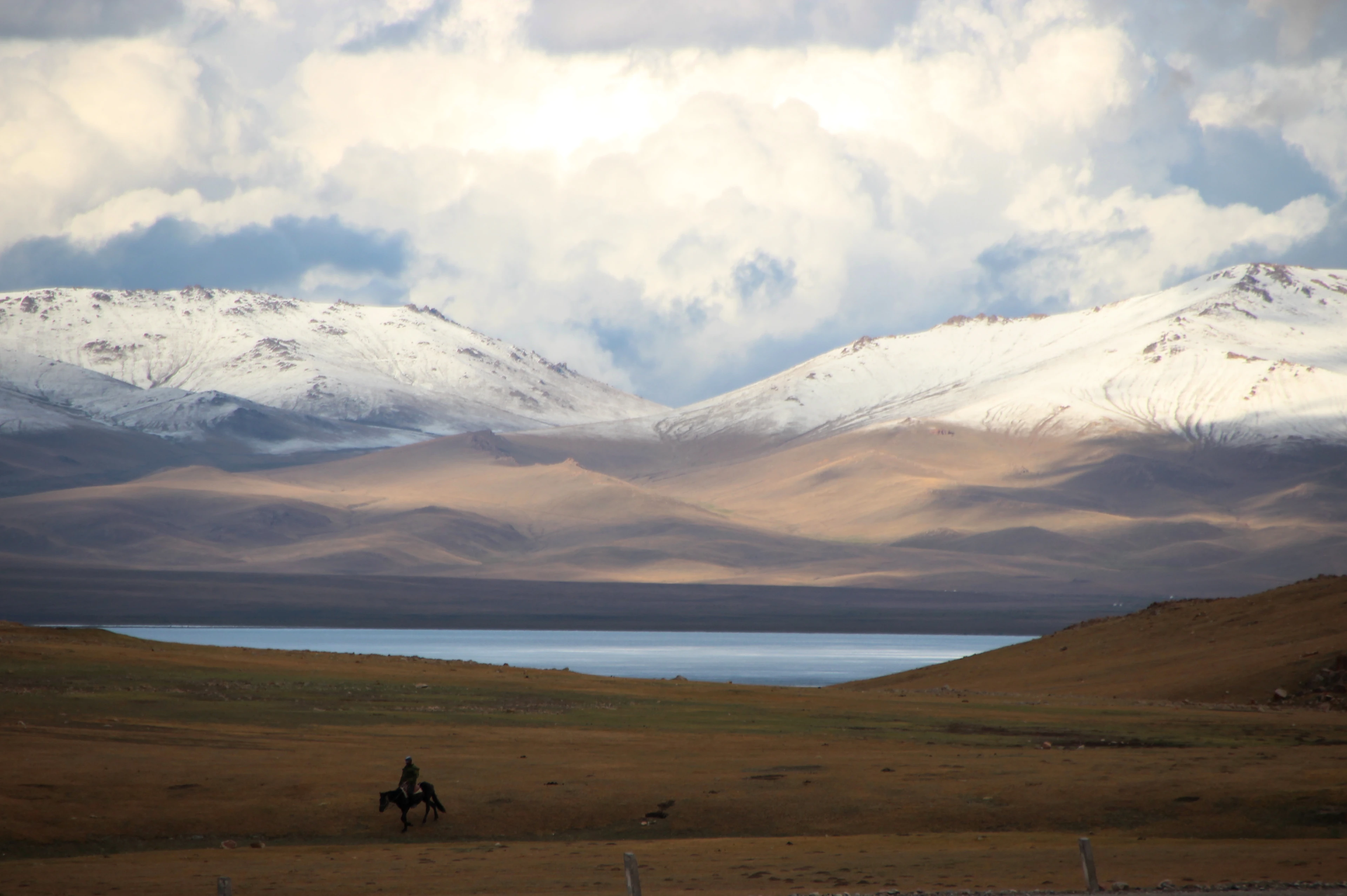 Photo: Thomas Holbach · CC BY 4.0. Resized and cropped.
Naryn
High pastures, open skies and a window into nomadic life. Song-Kul sits on a high plateau in Naryn Region — a wide alpine lake, seasonal jailoo pastures and a slower rhythm of days. Operator journeys for this destination are being prepared; use this page as inspiration, then ask a local operator about current access, seasons and stays.
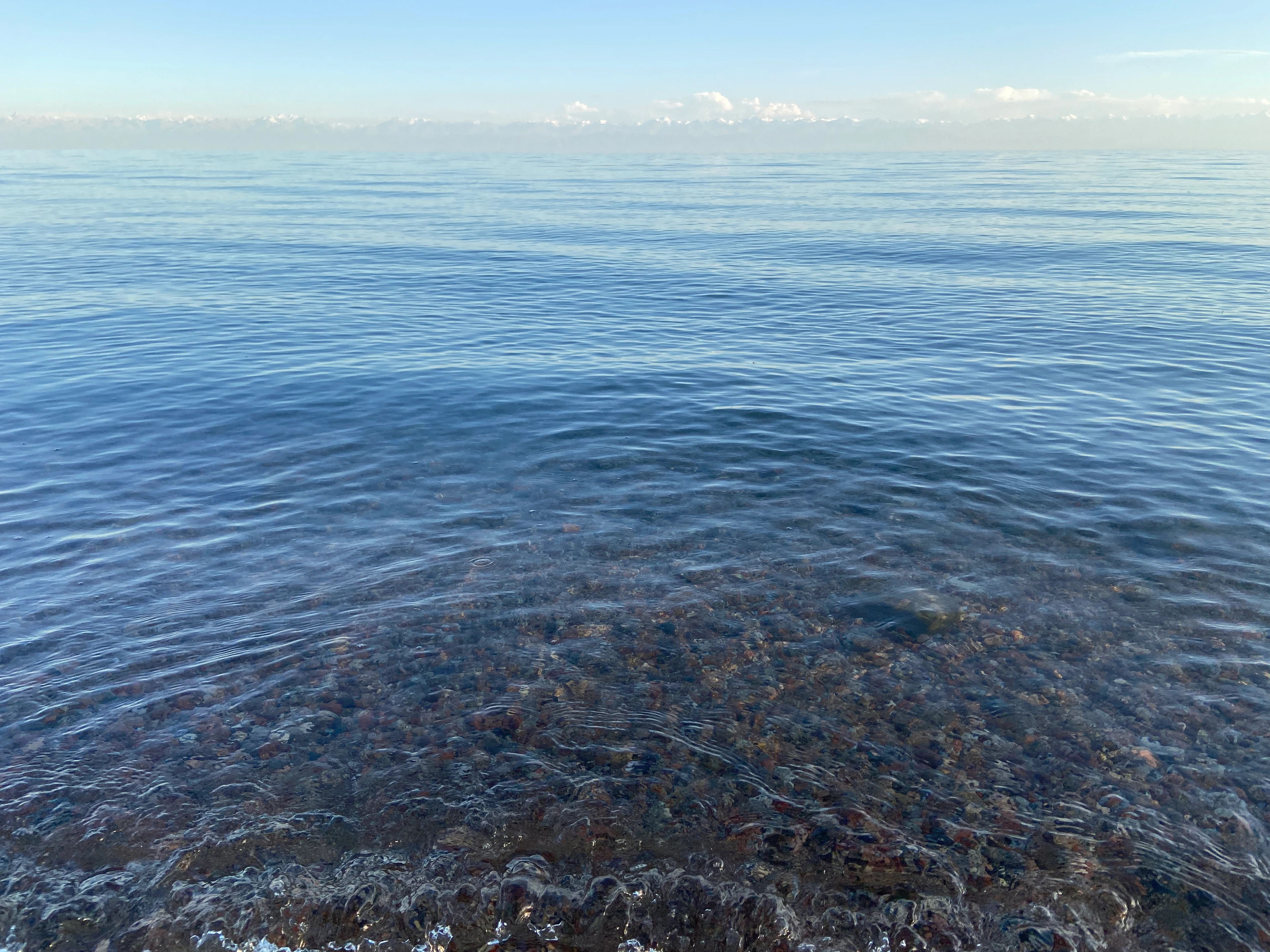 Photo: Tomáš Blahuta · CC BY-SA 4.0. Resized and cropped.
Issyk-Kul
A journey along the shores of Kyrgyzstan’s great alpine lake, with mountain scenery and room to slow down. The north and south shores offer different paces; weather, road conditions and swimming vary by season. Operator offers are being prepared. Confirm current conditions locally before you travel.
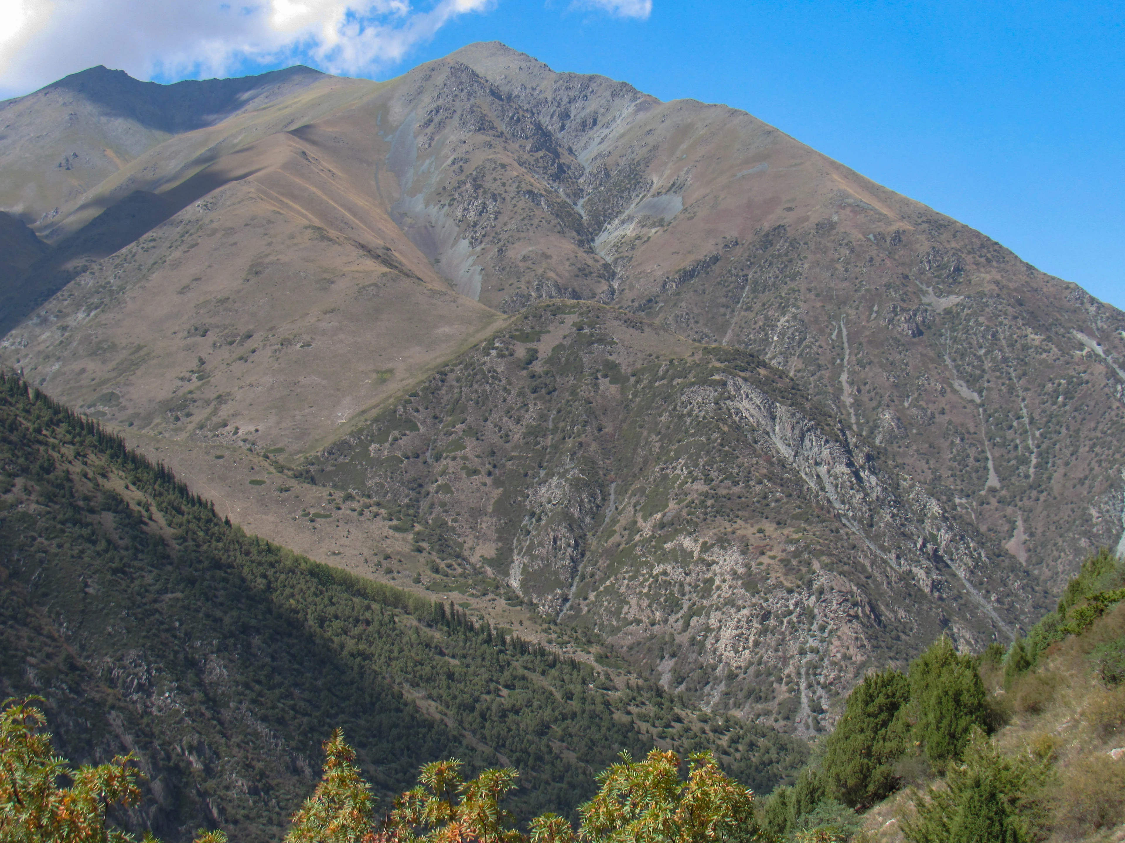 Photo: Nikolai Bulykin · CC BY-SA 4.0. Resized and cropped.
Chuy
Rocky peaks, forest trails and a mountain escape just beyond Bishkek. Ala-Archa National Park is a day journey from the capital: river paths, juniper slopes and higher routes for those who are prepared. This is inspiration, not a confirmed guided departure. Park access, weather and trail conditions must be checked before you go.
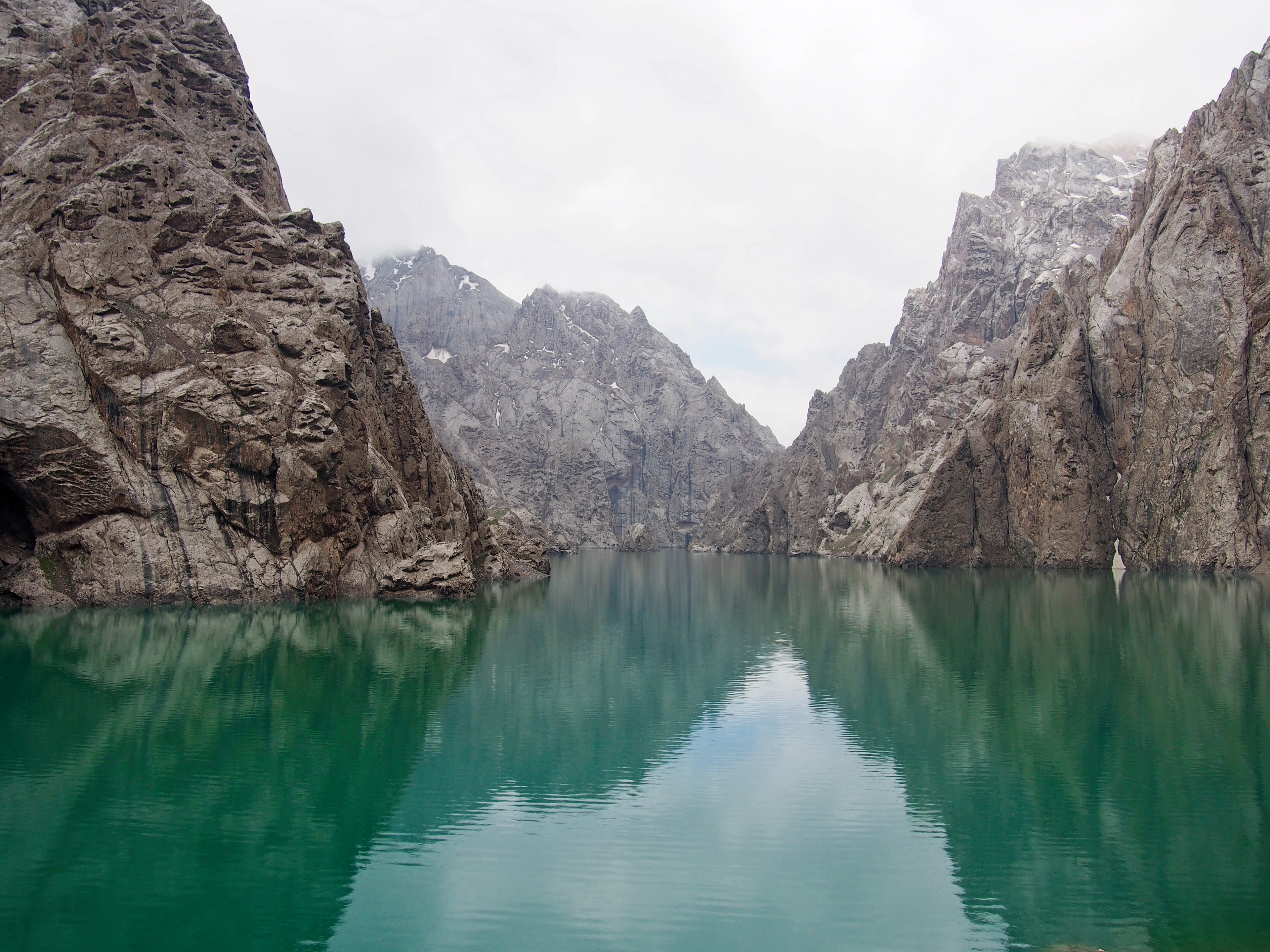 Photo: Eventyrlys · CC BY-SA 4.0. Resized and cropped.
Naryn
A lake framed by steep rock walls in Naryn Region. Access depends on season, border arrangements and road conditions. Ask a local operator about the current route before planning a visit. No departure is confirmed here.
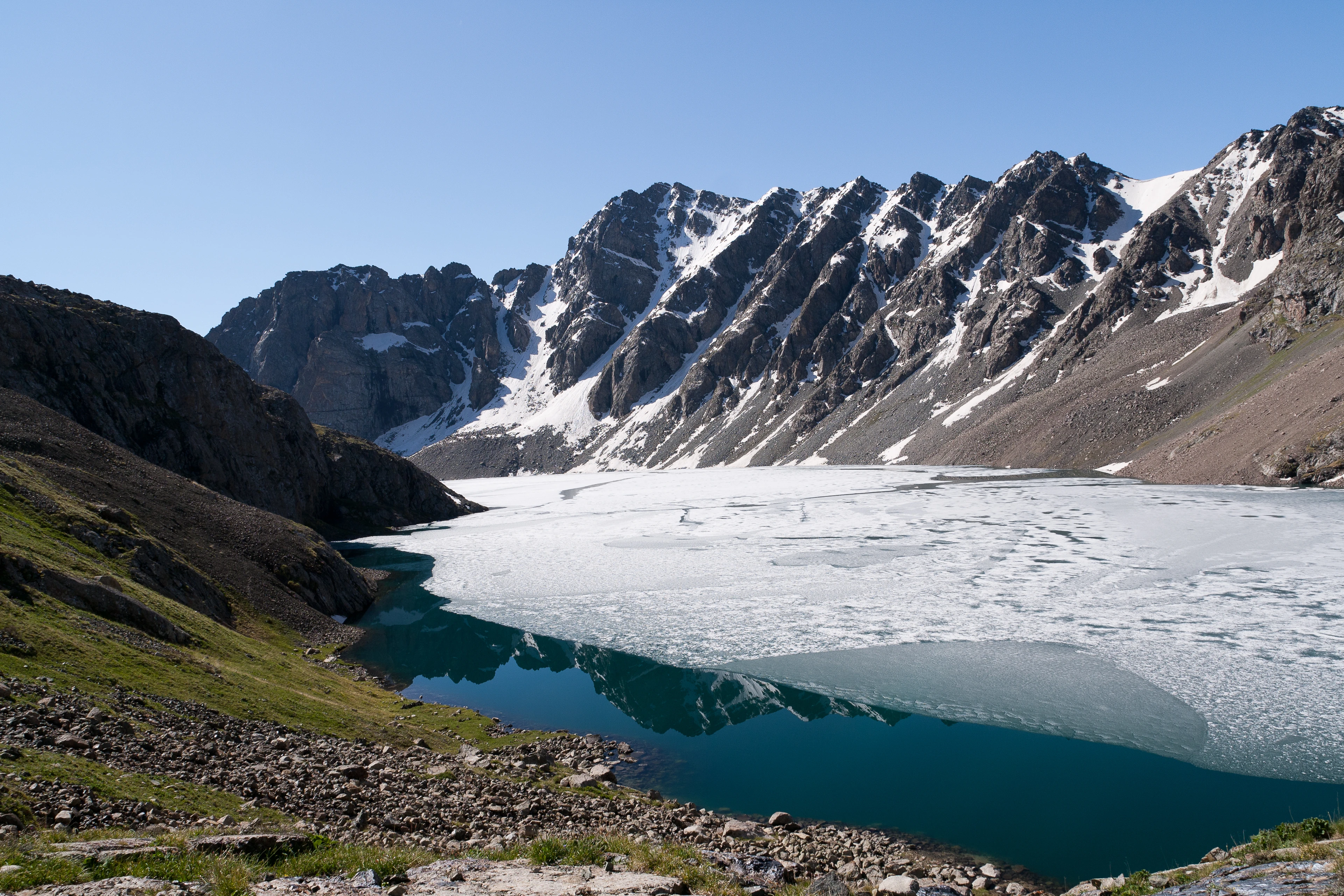 Photo: Ekrem Canli · CC BY-SA 3.0. Resized and cropped.
Issyk-Kul
A starting point for eastern Kyrgyzstan and the surrounding mountains, including the approach towards Ala-Kul. The photograph shows Ala-Kul south of Karakol, not the town itself. Road access, valley transfers and hiking plans must be arranged separately.
 Find your Kyrgyzstan