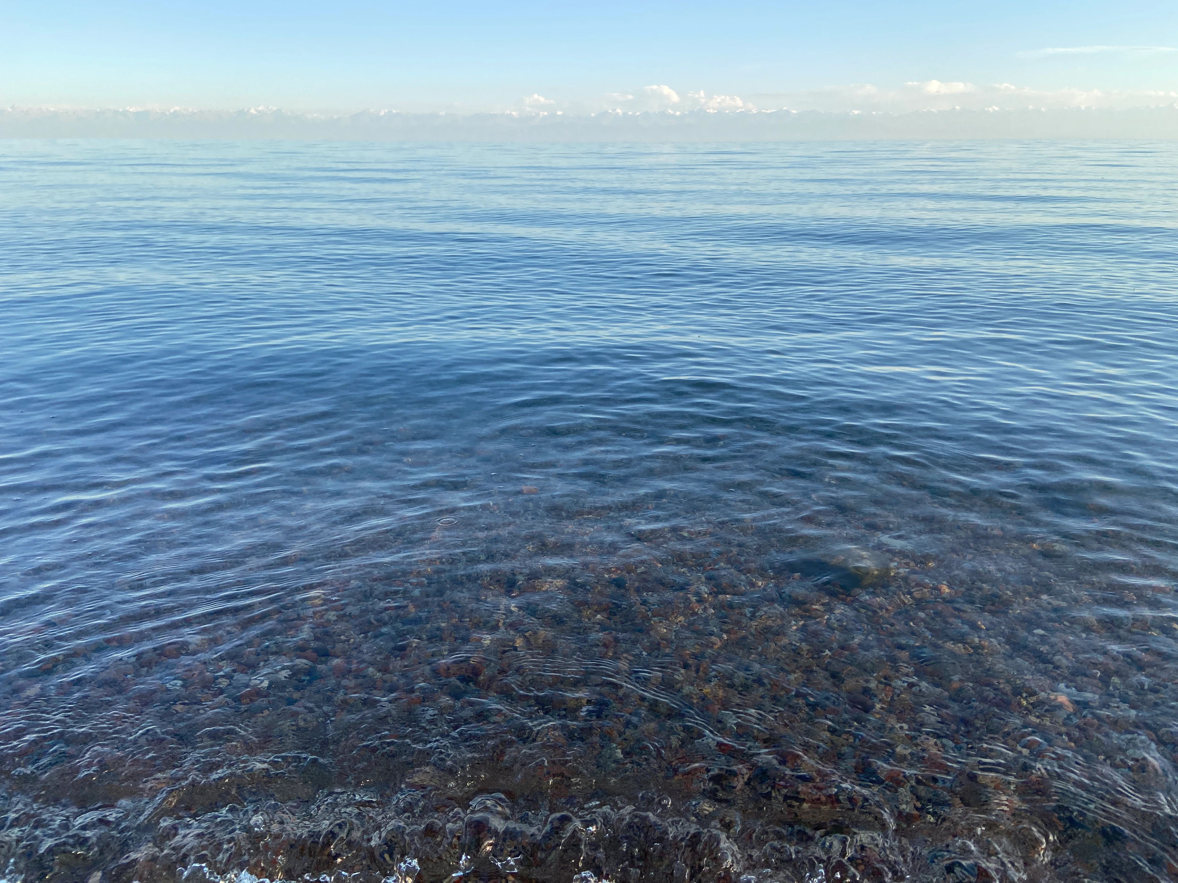
A PAUSE BY THE WATER
Issyk-Kul
The road follows the north shore. This photograph shows the lake region, not a verified stopping or parking point.
Return to the lakeside road ↑Photo: Tomáš Blahuta · Source · CC BY-SA 4.0 · Resized and cropped.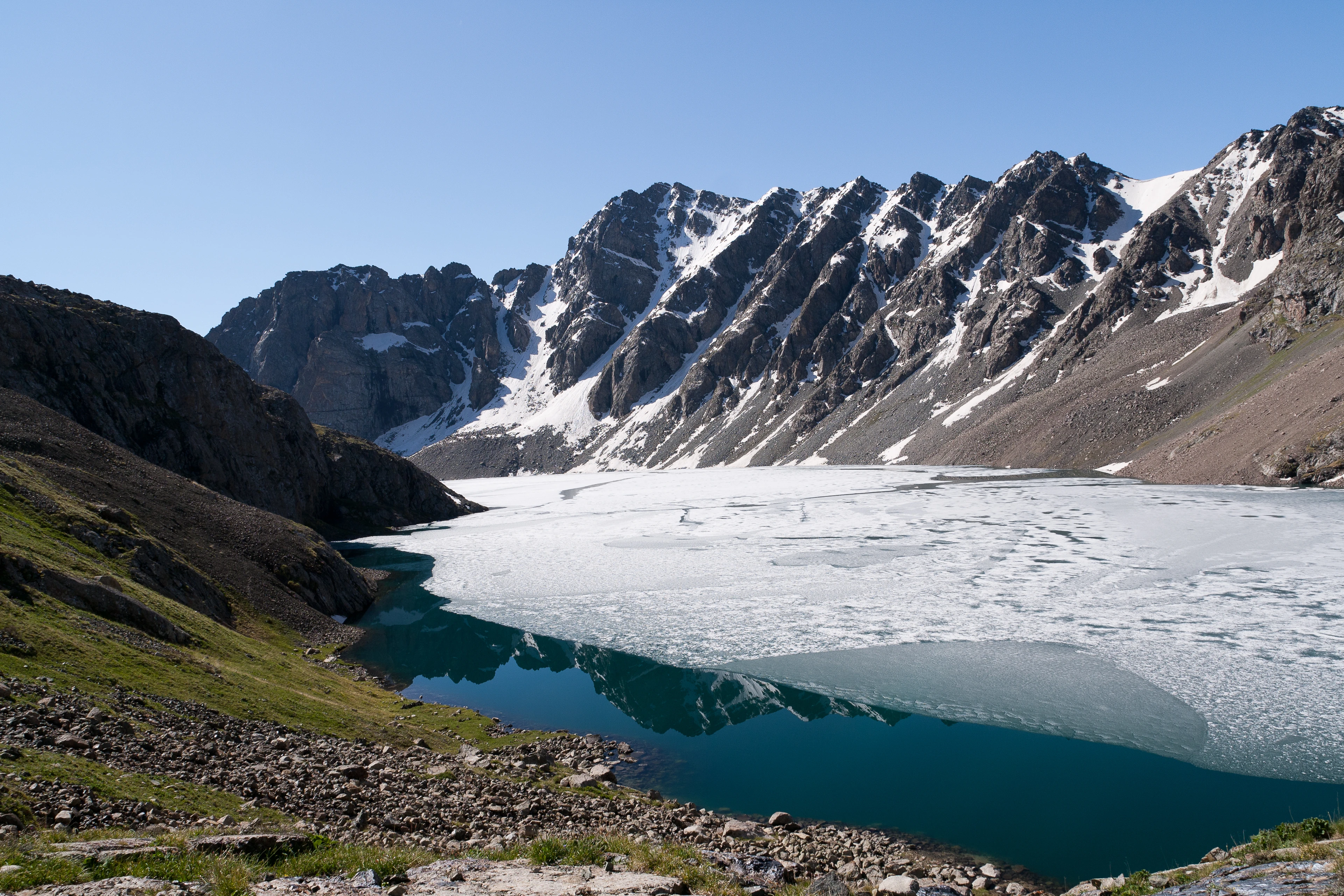
JOURNEY THROUGH THE CELESTIAL MOUNTAINS
Terskey Ala-Too · Kyrgyzstan
Route from Bishkek ↓THE ROAD TO ALA-KUL
Bishkek → Balykchy → Cholpon-Ata → Karakol
Scroll to follow the route · Drag the map to look around · Distances are planning estimates.
A PAUSE BY THE WATER
The road follows the north shore. This photograph shows the lake region, not a verified stopping or parking point.
Return to the lakeside road ↑Photo: Tomáš Blahuta · Source · CC BY-SA 4.0 · Resized and cropped.BEYOND THE ROAD
Explore the lake in the 3D scene after the road journey. The mountain approach is a separate hiking stage.
Photo: Ekrem Canli · Source · CC BY-SA 3.0 · Resized and cropped.THE ROAD ENDS. THE WALK BEGINS.
From Karakol, continue to the Karakol Valley trailhead. A suitable 4×4 may shorten the valley approach when access permits; the ascent to the lake is a mountain hike. No road or unverified hiking track is drawn to the lake.
Mapped walking approach: about 28.5 km from the Karakol city reference, via Karakol Valley. Cyan dashed line: Valhalla/OpenStreetMap pedestrian network, retrieved 27 October 2026. This is a calculated map route, not a field-verified GPS recording. Road transfers can shorten the approach; current access and the trail must be checked locally.
Download mapped walking approach (GPX) · Geometry and provenance
Road geometry: OSRM, based on © OpenStreetMap contributors (ODbL), retrieved 27 October 2026. Endpoints are city reference points, not your exact pickup or parking location. No live traffic or road closure data.
Kyrgyzland: vehicle approach and hiking ascent · Visit Karakol: access via the national park
Download the road geometry (GeoJSON) · OpenStreetMap license
THE LANDSCAPE, IN CONTEXT
A turquoise alpine lake in the mountains south of Karakol. Explore the surrounding ridgelines through real elevation data.
The terrain combines real Copernicus elevations with georeferenced Sentinel-2 satellite imagery: a snow-covered acquisition from September 2025 or the 2016 mosaic. Lighting and atmosphere are illustrative. This experience is not a navigation map.
Explore tours →Tours are coming soon.
The lake at the centre of this experience. Its reference position is 42.31724° N, 78.53577° E. The final approach is on foot.
GeoNames location referenceThis point highlights the lake surface and its mapped shoreline. The outline comes from OpenStreetMap; it is not a designated campsite, trailhead or landing point.
OpenStreetMap lake outlineAn interpretation point on the surrounding DEM. Elevation is sampled from Copernicus; surface snow belongs to the selected satellite acquisition, not current weather. This is not a named summit.
Terrain and imagery provenancePhotograph: Ekrem Canli · CC BY-SA 3.0. Resized and cropped; overlays applied.
Copernicus DEM GLO-30 · reprojected to UTM 44N, resampled for the browser. No vertical exaggeration. Dataset provenance and license.
Shoreline: © OpenStreetMap contributors, ODbL. Location coordinates: GeoNames.
produced using Copernicus WorldDEM-30 © DLR e.V. 2010-2014 and © Airbus Defence and Space GmbH 2014-2018 provided under COPERNICUS by the European Union and ESA; all rights reserved

